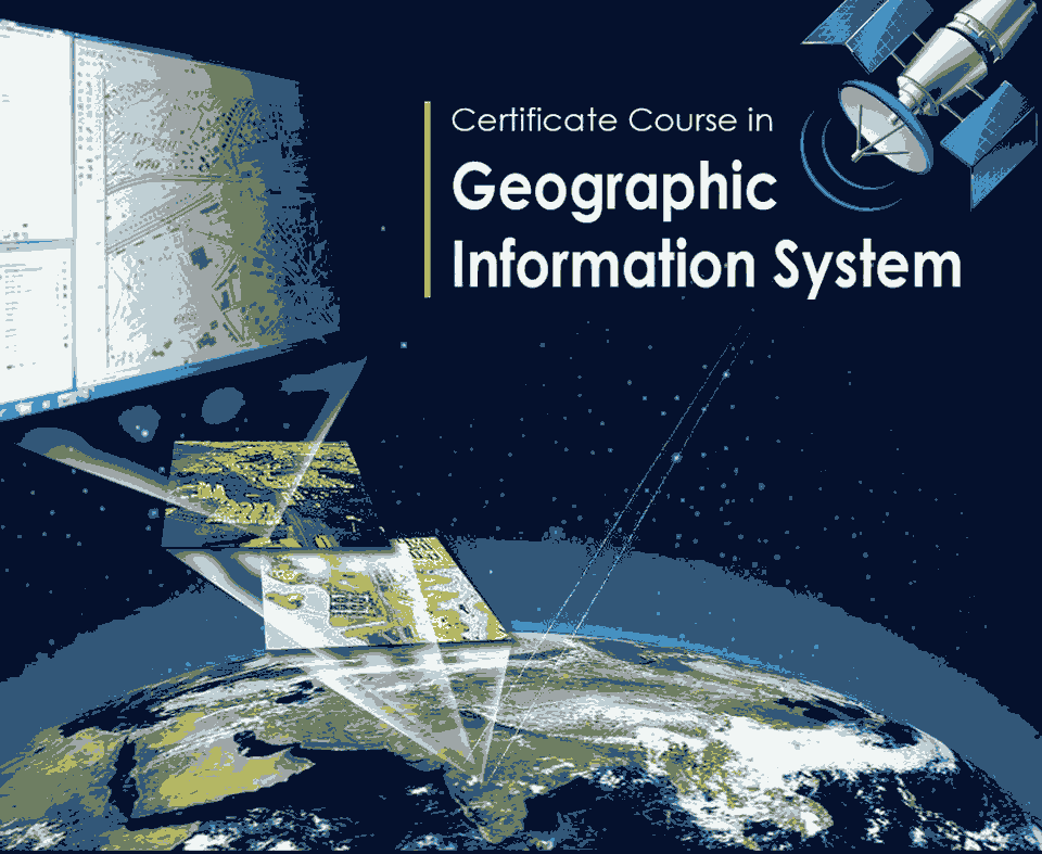
This course builds a foundation in GIS based spatial data modelling, analysis and visualization. In this course the students will learn how to use GPS technology for GIS mapping and integrate it with earth imagery with various localized data. The students will learn how to effectively use GIS skills in diverse fields such as urban planning, transportation and resource management.
Target Audience
- Graduates ( Preferably in Geography, Geology & Engineering
- Post Graduates ( Preferably in Geography, Geology & Engineering
- Introduction to Mapping Technique
- Auto CAD
- Arc GIS
- QGIS
- ERDAS
- Global Mapper
- Assignments
420 Hours to be covered 7 Months.
We provide National Skill Development Corporation (NSDC) certificate after successful completion of course.
- Spatial Data Interpreter
- GIS Analyst
- GIS Operator